· GEOINT · 3 min read
Useful GEOINT
A collection of useful GEOINT tools and resources.
Download PDF: Useful GEOINT
So I have taken the time on this fine Saturday to compile a list of useful GEOINT tools and resources that I use almost everyday. Most of these tools are actually free to use. This post does not include the guides on how to use them, but I will be writing separate detailed guides on how to use each of them in future posts, So be sure to follow the RSS feed or regularly check the website.
Satellite Imagery
These images can be used for a variety of purposes such as monitoring natural disasters, conflicts around the world, tracking deforestation, and much more. Most of the free imagery will be low resolution, but the option to purchase high resolution imagery is available with most services in this post.
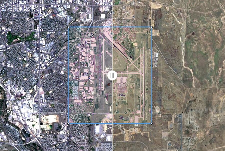
Sentinel Hub
This is a great tool for visualizing satellite imagery. It is free to use.
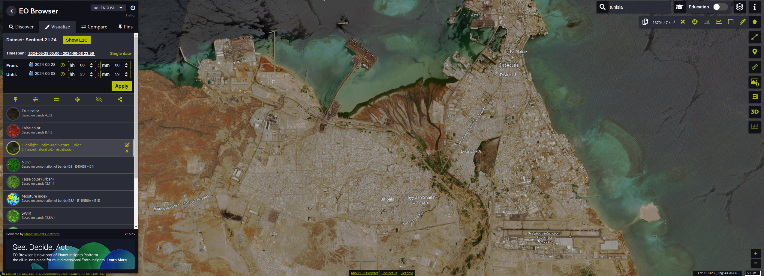
Link: https://apps.sentinel-hub.com/eo-browser/
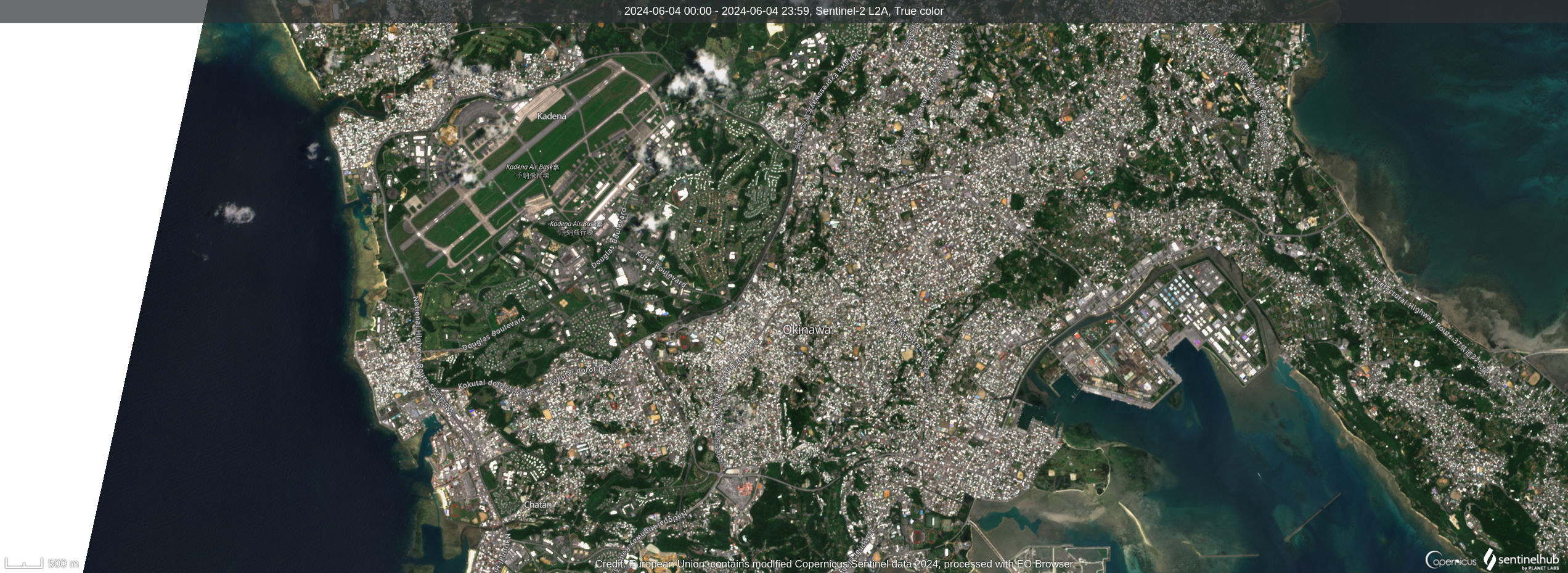
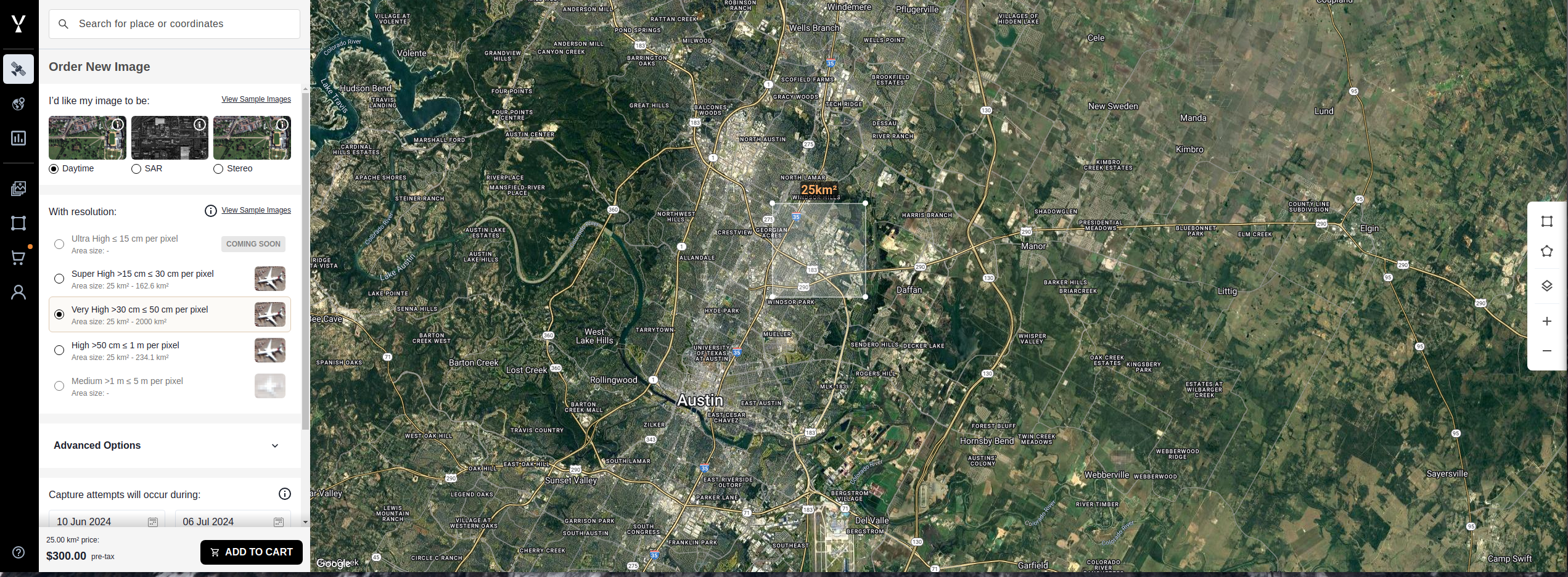
EOS Land Viewer
I use this as my main tool, but limited to 10 images a day for free version. They do offer a paid version if you need more images.
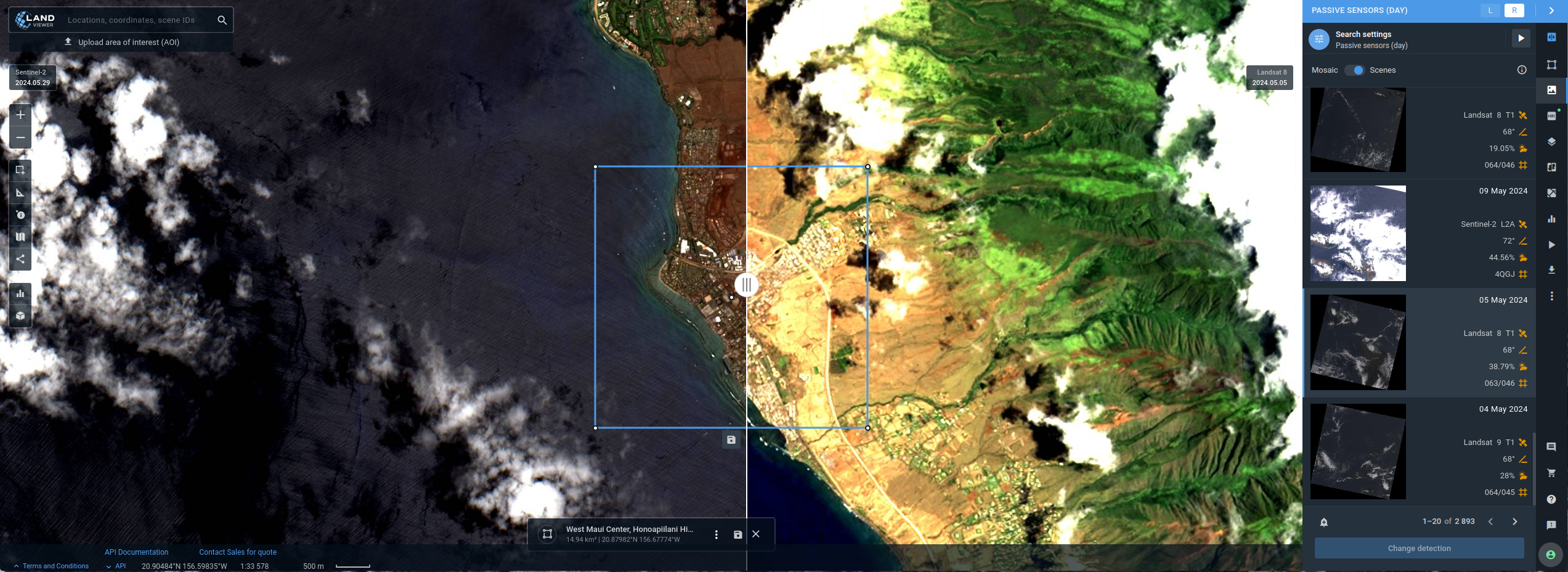
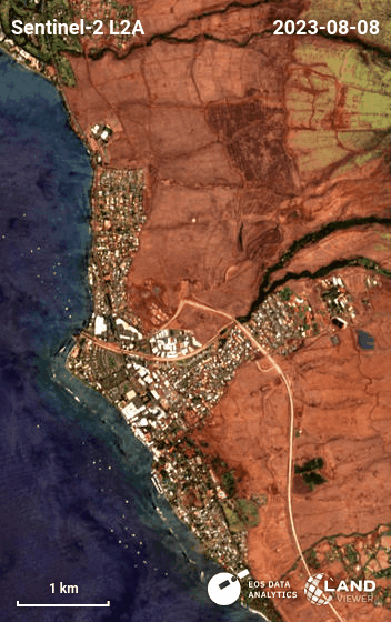
Here is a timelapse created using the tragic fire in Lahaina, Maui, Hawaii in 2023:
Link: https://eos.com/landviewer/
High Resolution Imagery and SAR (synthetic-aperture radar)
On the pricier side, but great for high resolution imagery and SAR data if you have the budget.
Link: https://app.skyfi.com/explore
UAS/UAV Imagery
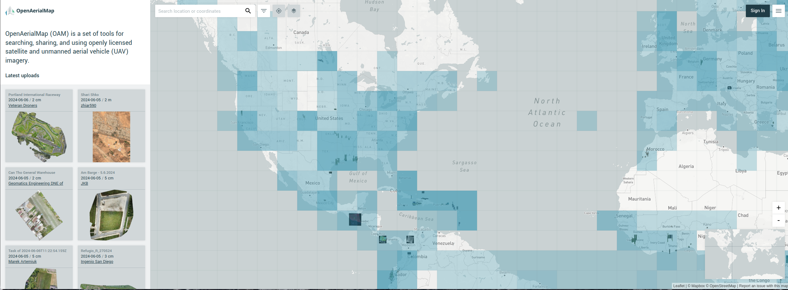
OpenAerialMap
If you are looking for free drone imagery, I have found that OpenAerialMap is a great resource.
Link: https://map.openaerialmap.org
GIS Tools
I tend to stick with open-source GIS tools as they are free to use and have a lot of plugins that you can use to extend its functionality. It allows you to also maintain the project if it becomes abandoned by the orginal developers or if you want to add more features.
QGIS
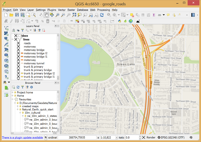
QGIS is the best open-source GIS software out there. It is free to use and has a lot of plugins that you can use to extend its functionality. You can even host your own server to share data with a team. There is a bit of a learning curve but once you get the hang of it, it is a very powerful tool to have in your arsenal.
You can find it here: https://qgis.org/en/site/
QGIS Server
I would recommend setting up a QGIS server if you are working with a team.
https://docs.qgis.org/3.34/en/docs/server_manual/getting_started.html
QGIS Plugins
You can install plugins via QGIS - Top Bar: Plugins > Manage and Install Plugins.
Here is a few plugins that I recommend:
| Name | Description |
|---|---|
| MGRS Tools | Tools created by the NSA for working with MGRS coordinates in QGIS. |
| Link | |
| QuickOSM | A plugin for downloading data from the Overpass server in QGIS. |
| Link | |
| mmqgis | A collection of QGIS vector layer operation plugins. |
| Link | |
| QGIS2Web | A plugin for exporting your QGIS map to a web map. |
| Link |
Google Earth Pro
For 3D visualization, Google Earth Pro is the go-to tool. You can import your KML files from QGIS (or other tools) to Google Earth Pro.
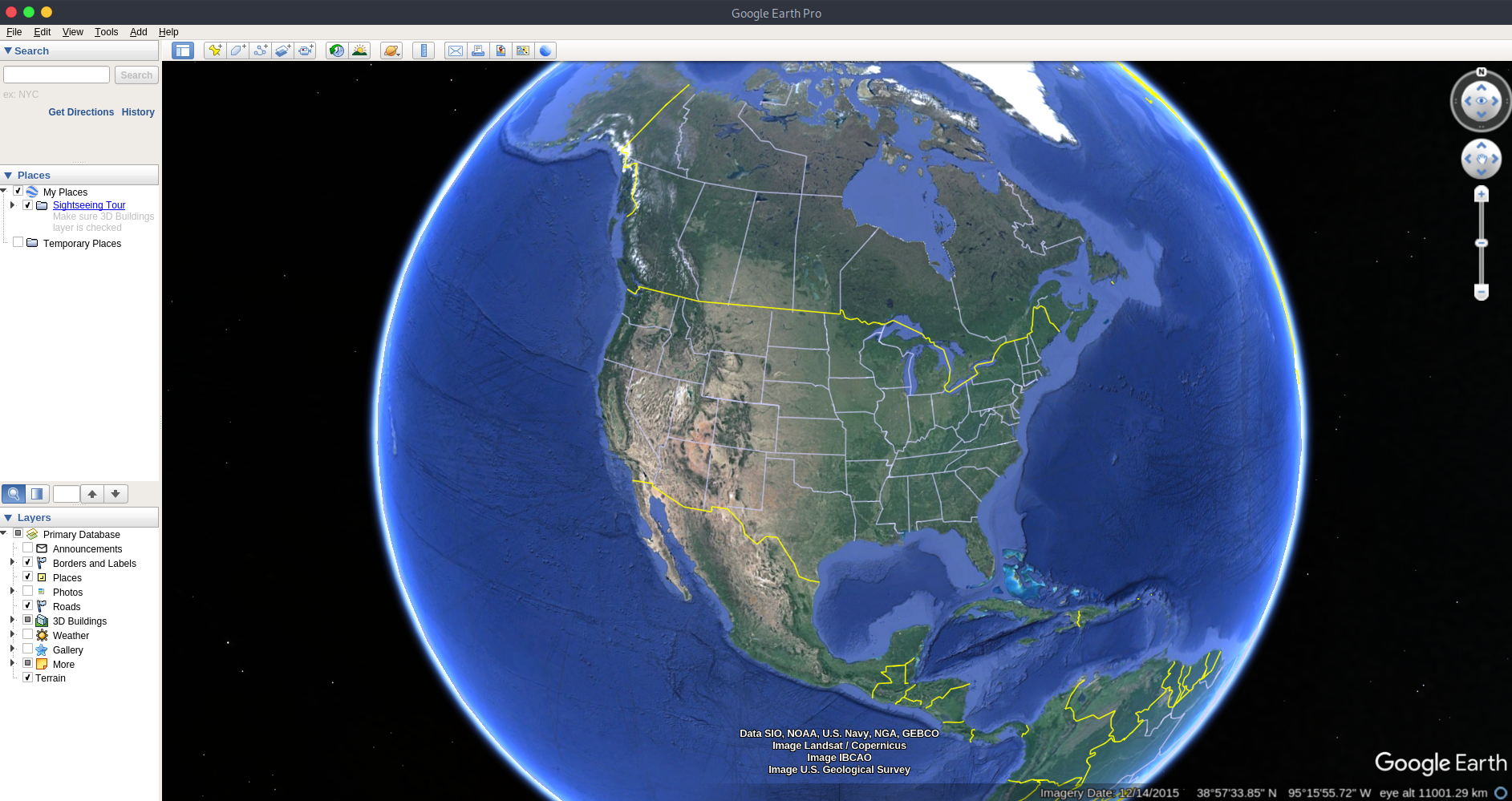
Download it here: https://www.google.com/earth/about/versions/#download-pro
Web Mapping Tools
Map.Army
This is a great tactical map planning tool that supports different grid formats, military symbols, and much more. It is free to use.
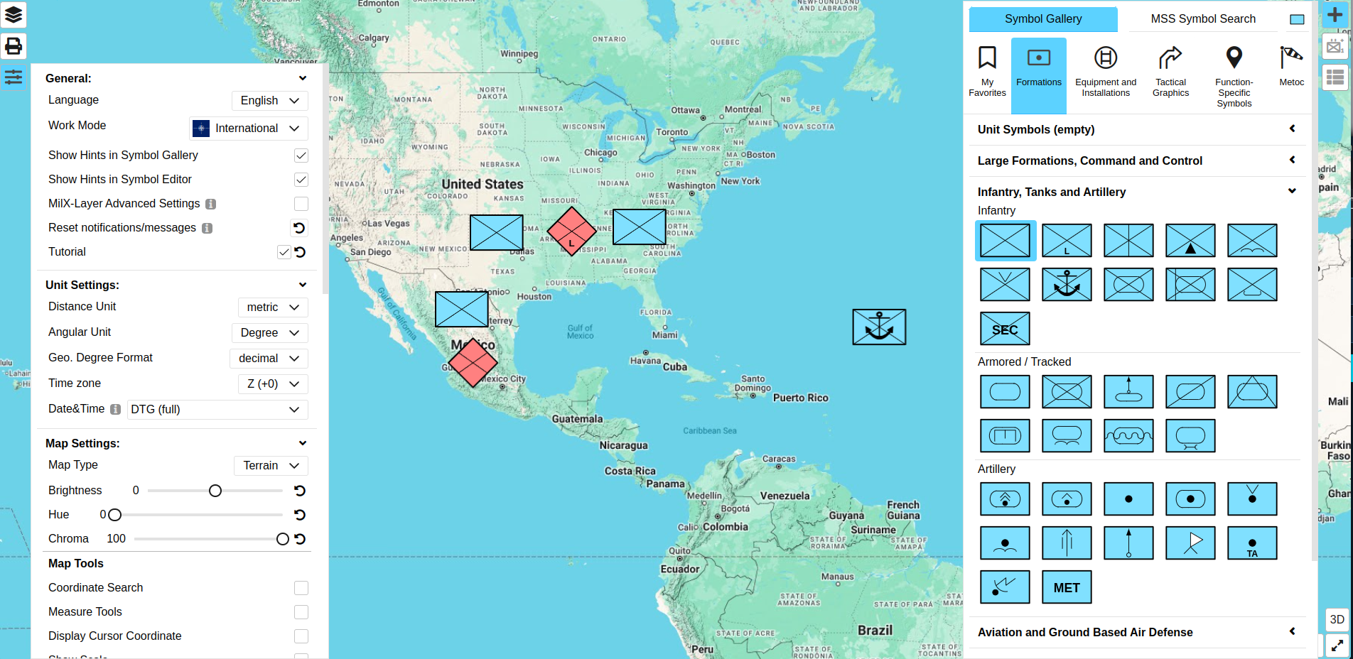
Link: https://map.army/
OpenStreetMap vs Google Maps
The main difference between OpenStreetMap and Google Maps is that Google Maps is not community-owned, while OpenStreetMap is, and all edits on OSM are submitted by users.
You can query the data in OSM to locate specific features and buildings, one example is using Overpass Turbo to get substations in a specific area: 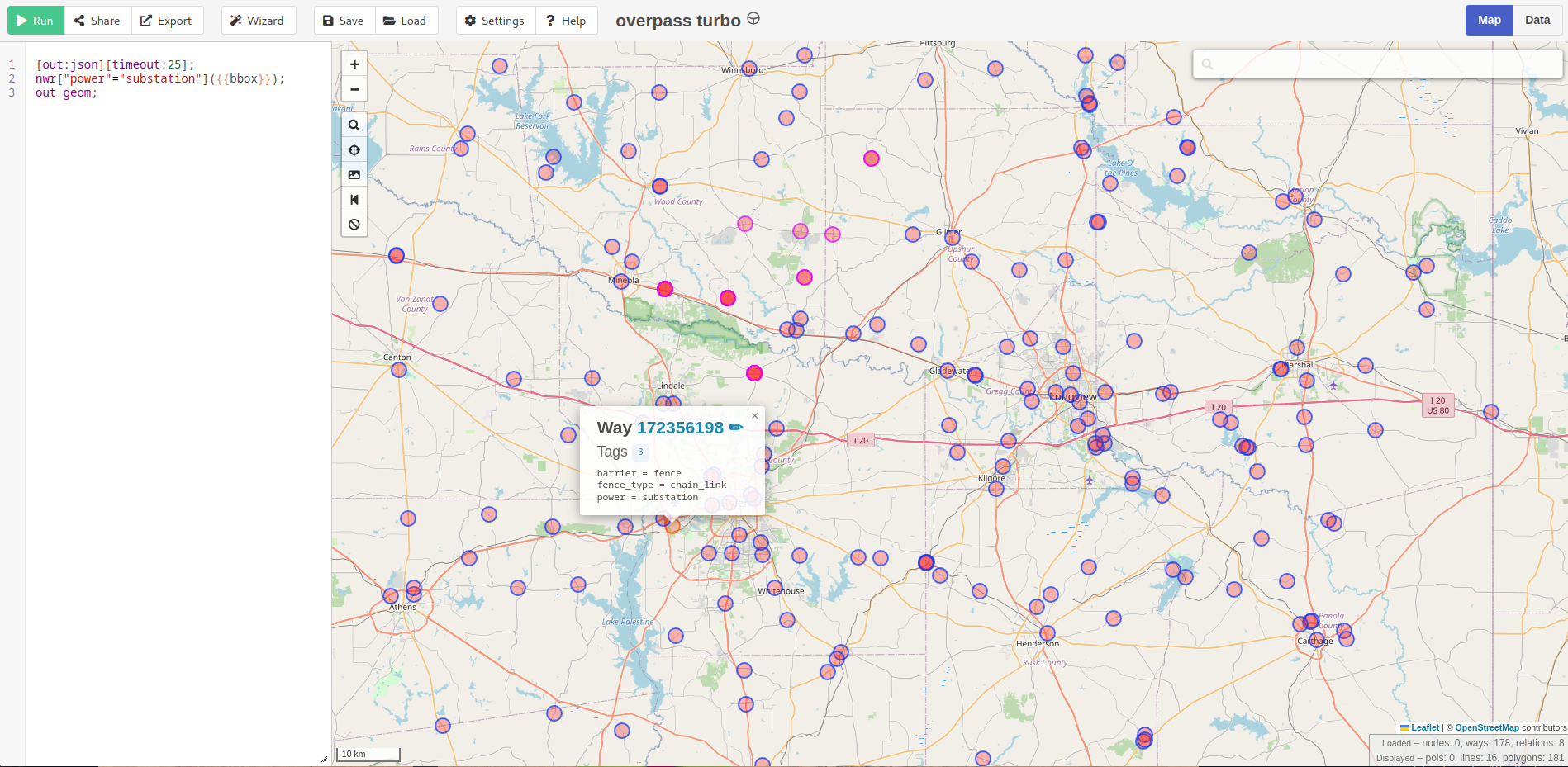
You can self-host the OSM tile server: https://github.com/Overv/openstreetmap-tile-server
Well that is a wrap for today. I hope you find all the tools I mentioned to be useful in your use case.